FEMA National Risk Index
Overall Risk Rating
Relatively Low
Expected Annual Loss
$1.2M / county
Social Vulnerability
Relatively Moderate
Community Resilience
Relatively High
Top Hazards
Tornado, Hail, Ice Storm
Fatal Flaws
0 Fatal Flaws
No disqualifying conditions detected. Site is clear for further due diligence.
1 Warning
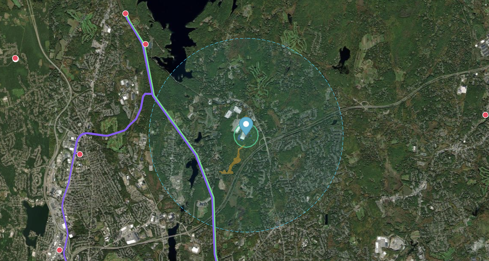
Minor wetland presence (0.8%) in the screening buffer — may require delineation survey.
Recommendation
Proceed with Phase 2 Due Diligence. This site scores well for solar
(82/100) and energy infrastructure (74/100) development, with moderate mineral potential (45/100).
No fatal flaws detected. Geology indicates Dakota Sandstone with moderate aquifer
yield. Recommended next steps: title search, wetland delineation, utility
interconnection study, and Phase I ESA. The minor wetland presence should be
characterized early.
Data Sources
ESRI/HIFLD (Transmission, Substations, Gas Pipelines)
FEMA (Flood Zones, National Risk Index)
USFWS (Critical Habitat, Wetlands)
NREL (Solar Resource, NSRDB)
USGS (Protected Areas, 3DEP Elevation, SGMC Geology, Macrostrat, MRDS Minerals, NWIS Groundwater & Water Quality, Principal Aquifers)
USGS / USDA (Annual NLCD 2024 Land Use, SSURGO Soils)
EPA (Brownfields, Superfund)
Esri / EIA (Power Plants in the US)
FCC (National Broadband Map)
BLM (Mining Claims, Land Status)
NURE (Stream Sediment Geochemistry)